Derbyshire County Council (DCC) is responsible for keeping the public safe on over 3,000 miles of carriageways and ensuring the network continues to run as smoothly as possible, even during extreme weather events. Traffic Manager, James Adams, and his team are key in ensuring the impact on the network is communicated with the road user in as timely a way as possible.
The Challenge
Derbyshire is a county of great geographical and social contrast with both heavily built-up areas and large, sparsely populated rural expanses, including the famous Peak District National Park. Unfortunately, these rural landscapes and areas of natural beauty mean adverse weather conditions and emergency incidents are more common.
Back in 2018, the “Beast from the East” hit Derbyshire with a tremendous amount of snow, forcing DCC to close many roads. With limited safe alternative routes in the area, this presented a real challenge for drivers trying to navigate the county and caused significant disruption.
A year later came the Whaley Bridge and Toddbrook Dam collapse.
James and his colleagues were informed of the incident by the Emergency Planning team and called into action. The collapse meant that all roads in and around the valley had to be closed off to ensure public safety. Not only did these roads have to be closed, but these closures then had to be urgently communicated out to residents and the travelling public.
At the time, this was an extremely difficult task and one of the biggest challenges was getting the closure information into navigation apps. While DCC, like many other councils, posts all road closures on its website and shares updates via Twitter, the Traffic team needed a way to communicate with drivers behind the wheel.
These weather events, alongside several floods in Derwent Valley and around the river Wye, prompted the Traffic Team to investigate a solution to help them tackle such emergencies.
"Not too long ago, there was a flood in Tissington Ford. A car travelling through the area unfortunately was caught in the flood and unable to move. But now that we have Live Link, managing this situation was far easier than it would have been previously. We were able to simply close the road via the mobile app and this was instantly reflected on the navigation apps."
James Adams, Traffic Manager - Derbyshire County Council
The Solution
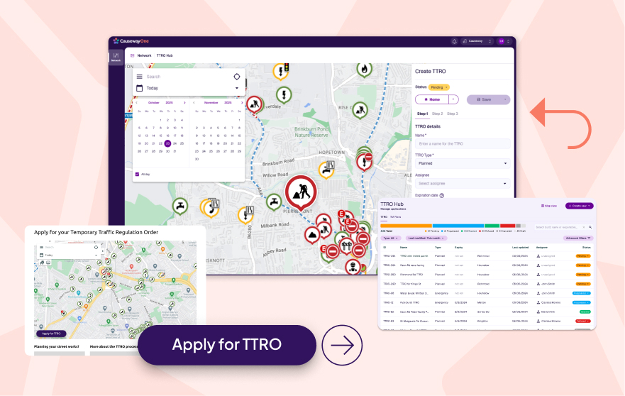
As existing CausewayOne Network users, DCC adopted Live Link - our integrated road and lane closure solution - that pushes prioritised alerts to all leading navigation providers including Google, Waze, Apple Maps, Here Technologies and TomTom.
Live Link not only seamlessly works alongside the CausewayOne Network Traffic Management module, but the intuitive Live Link app, designed specifically for teams out in the field, enables lanes and roads to be closed directly from the roadside.
Now, DCC use Live Link to close roads in all emergency situations – from floods, to fallen trees, to disruptive road collisions.
If a vehicle crashes and it requires a lane or road to be closed, Derbyshire Police now contact the DCC control room where the team use Live Link to close the road, pushing this critical information to navigation providers in real-time. This means navigation apps have the chance to alert drivers to incidents and reroute them away. The result: increased visibility of closures on the road network, helping keep drivers and emergency responders across Derbyshire safe.
Live Link also proved particularly useful throughout the recent ravages of Storm Babet in October 2023, where much of the Derbyshire network was impassable.
Being able to close and re-open roads via Live Link has been transformative for DCC, giving them the power to influence driver behaviour, helping drivers to navigate around the county easily.
Live Link is just one method Derbyshire use to communicate their closures and street works. The council is now also working with councillors, getting them trained to use CausewayOne Network and its email alert functionality to keep constituents up to date about all road events in their area.
Want to get Causeway working for your business?
Learn more about our software solutions for local authorities or contact us for details.